Marine Services :: Hydrographic and Marine Geophysical Services
Hurricane Ida Emergency Hydrographic Surveys
Port Fourchon and Houma, LA
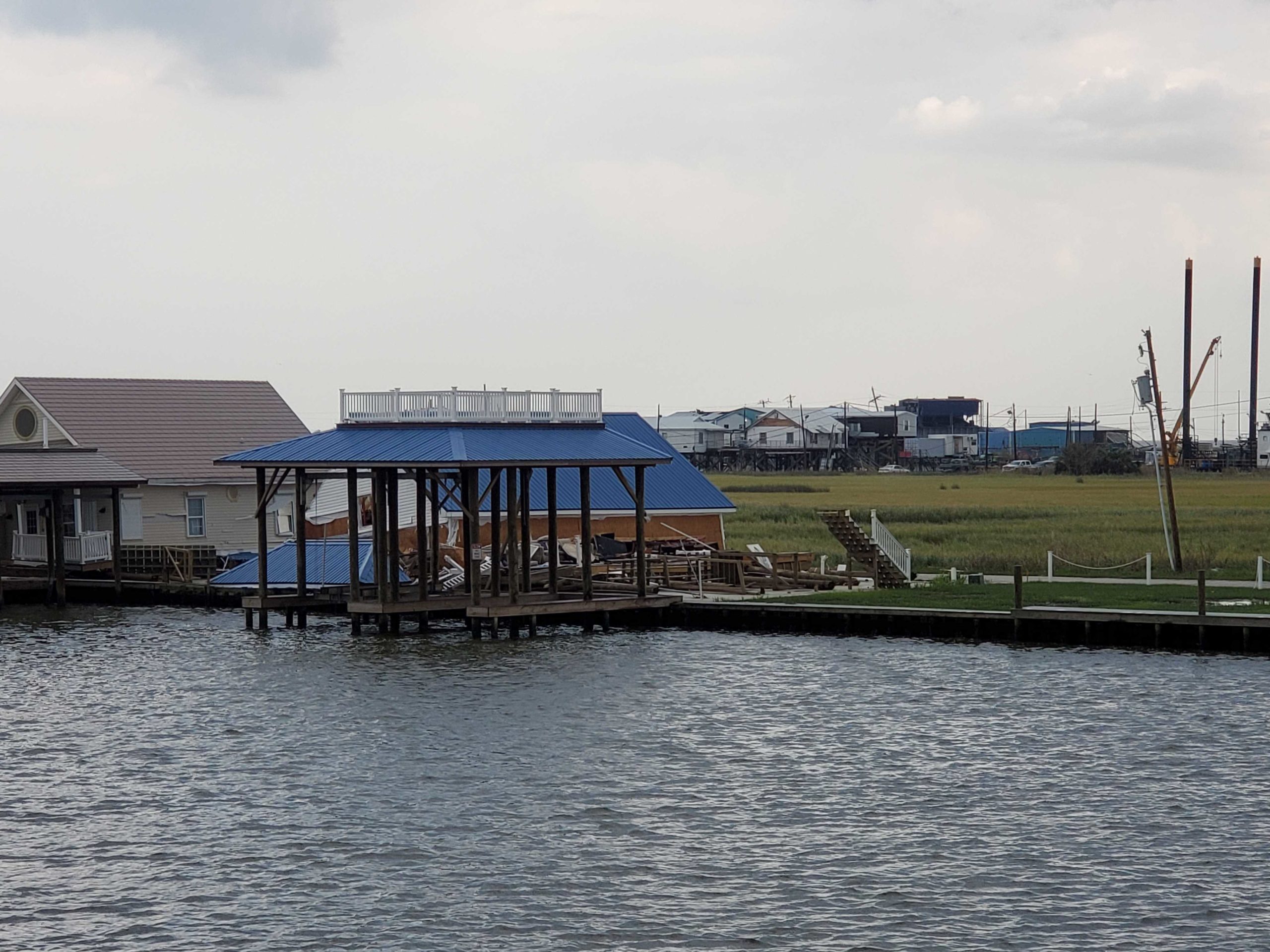
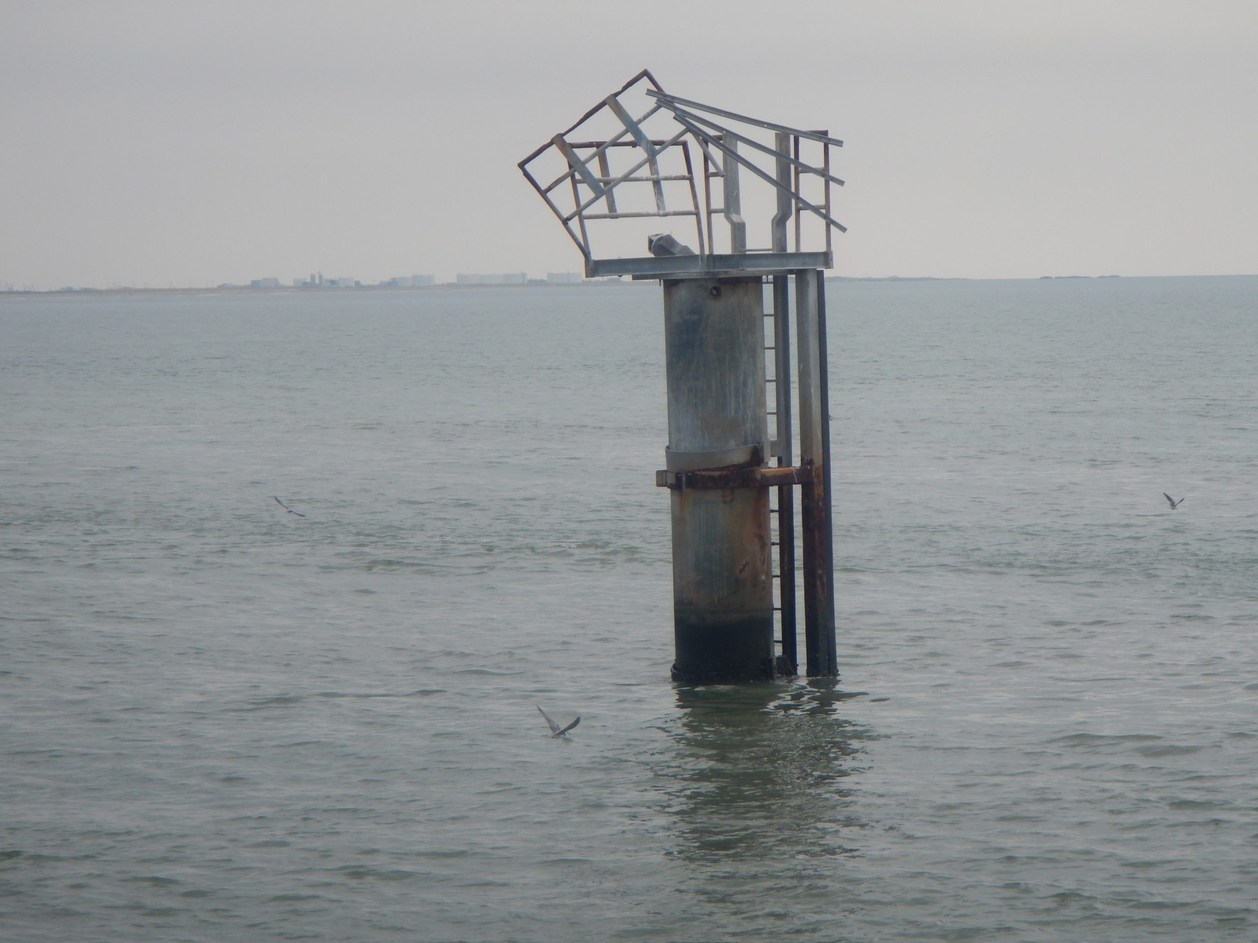
DEA Marine Services provided emergency response services to support the opening of critical ports following the landfall of Hurricane Ida in 2020. Under a task order for the National Oceanic and Atmospheric Administration (NOAA) Office of Coast Survey, DEA conducted 24-hour operations to survey the approaches to Port Fourchon and Houma, Louisiana – areas affected by the Category 4 storm event. The team acquired multibeam and side scan sonar data to identify shoaling that would impede navigation and conducted object-detection surveys to locate potential dangers to navigation and hurricane-related obstructions. Final mapping reports and other report products were delivered to NOAA, the USACE, and U.S. Coast Guard to aid real-time decisions on issues to be addressed prior to opening the navigation lanes for port access.
DEA has more than a decade of experience providing hurricane response services under hydrographic surveying contracts for NOAA. Along with Hurricane Ida, Marine Services conducted immediate surveys to open ports to deep-draft maritime commerce following hurricanes Laura and Harvey, and provided even broader mapping efforts post-Sandy and post-Katrina to map marine debris that threatened navigation and impacted fishing grounds.


