Surveying and Geomatics :: Laser Scanning and Mapping
Boulder County Emergency Response Surveys
Boulder County, CO
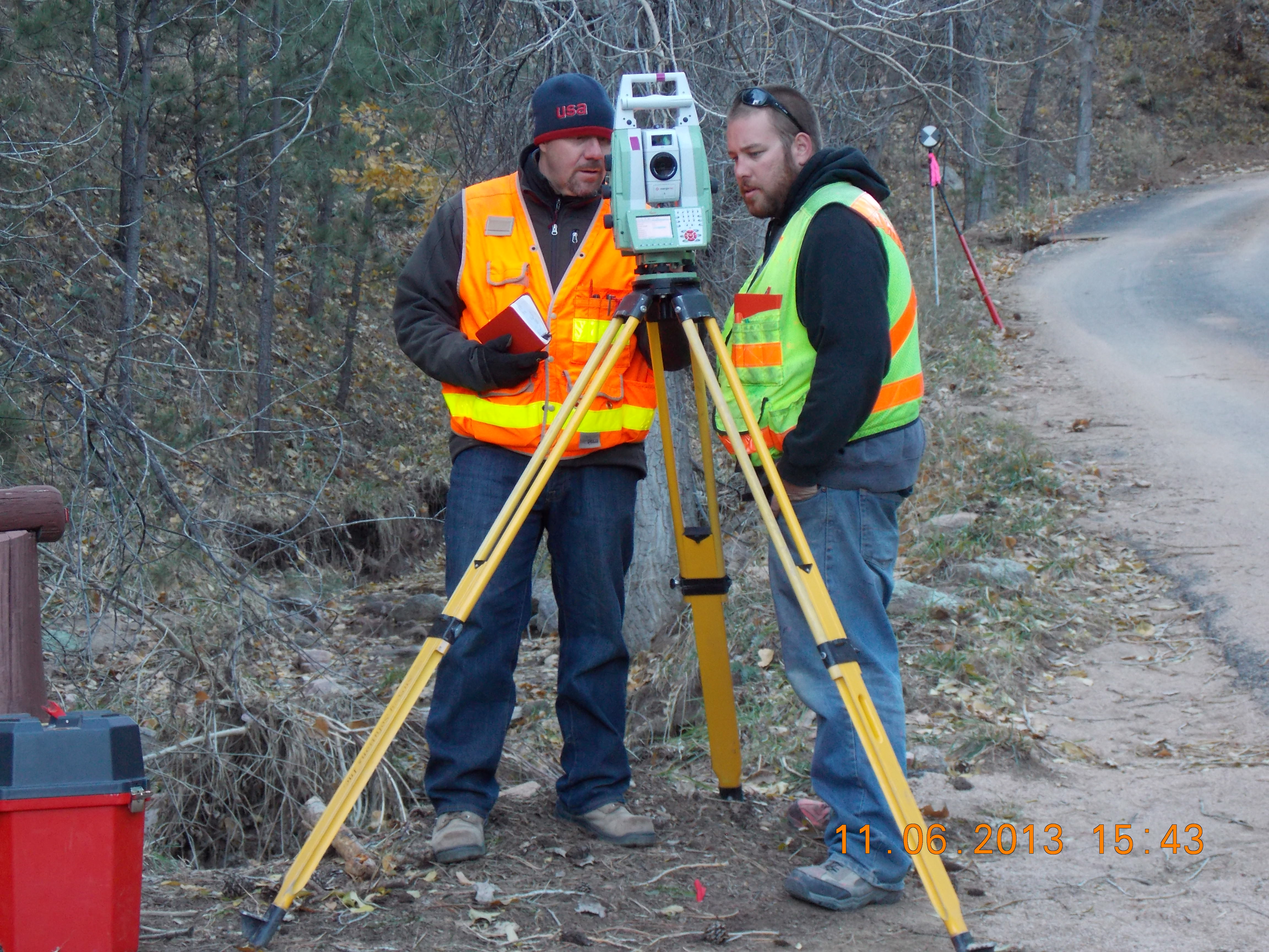
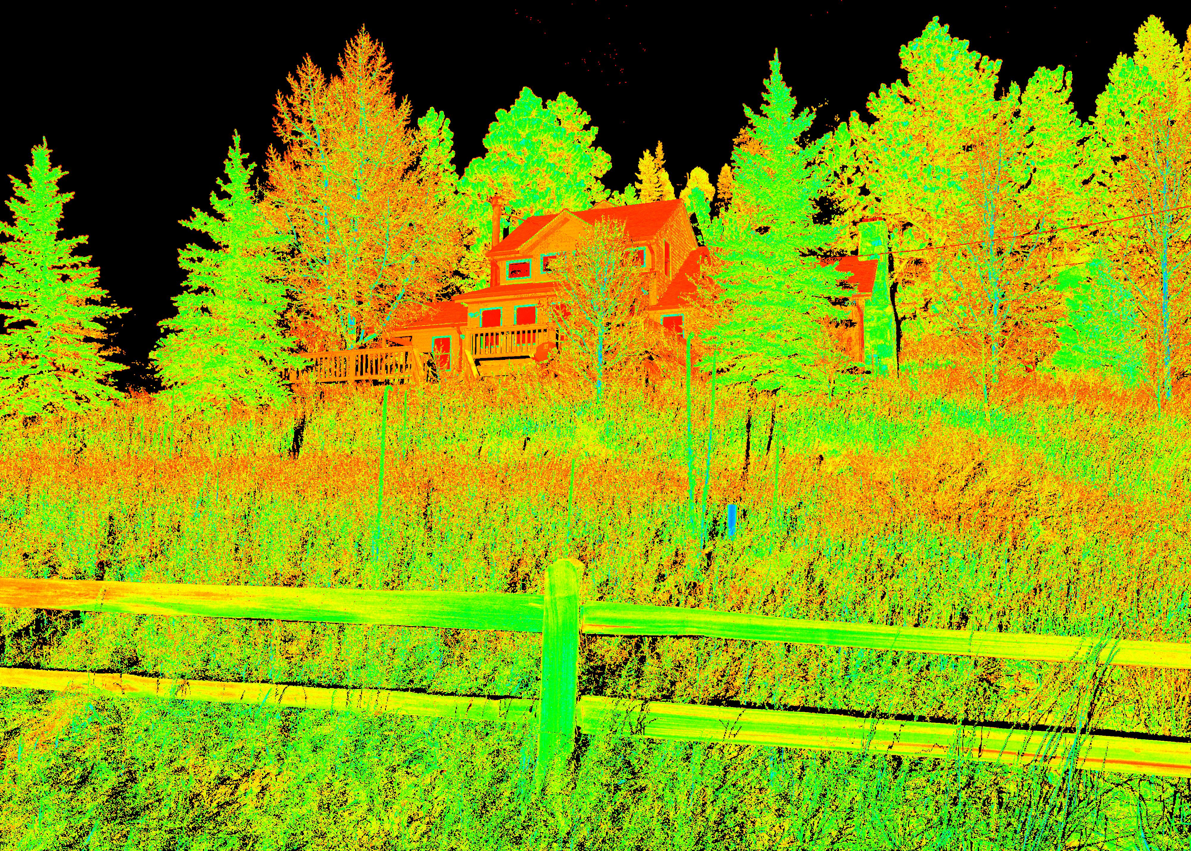
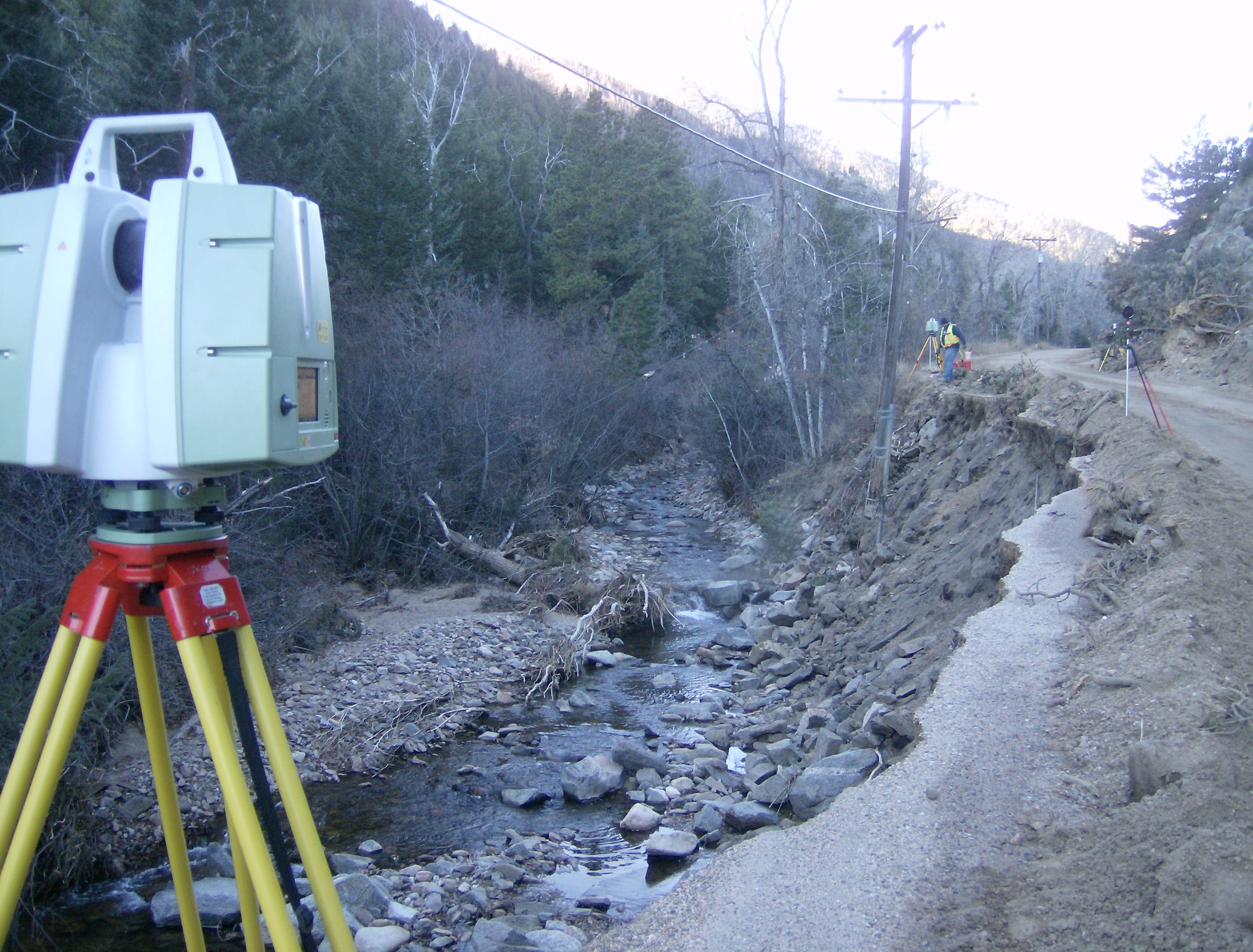
DEA performed topographic surveys on three sections of roadway in Boulder County that had been damaged by flooding in September and October 2013. Pre-construction surveys were completed using 3D terrestrial High Definition Scanning (HDS) technology that allowed for data to be gathered safely from the roadway surface along the roadside canyon walls and riverbanks that had been rendered unstable from the flood waters. MicroStation drawings and InRoads Digital Terrain Modle (DTM) files were created for the surface along the two roadways for approximately 30 feet on both sides of the centerline (60 feet wide). The post-construction survey data was collected using conventional surveying techniques. The surveys were required to be completed in rapid fashion in order to provide access for the residences and to record accurate data before snowfall.


