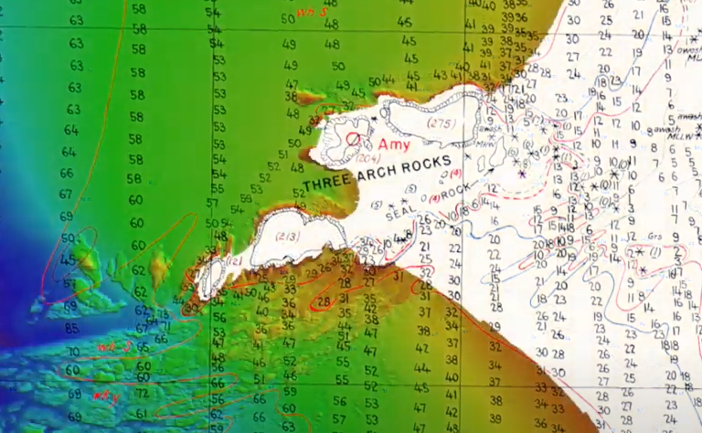
Hydrographic surveying has come a long way in the last 100 years, from leadlines and paper charts to the advent of high-resolution imagery. Experience the journey from analog to digital in this video showcasing a portion of Oregon’s iconic coastline.

